Plant Records
Introduction

Plant Records at Missouri Botanical Garden are maintained in a custom-designed Microsoft Access database. The Plant Records Database is a relational database, meaning that the data is stored in several inter-related tables. This provides for an efficient and consistent way of keeping track of plant information.

The database contains custom-designed data entry forms, specialized reports for commonly requested information, linkages to our GIS database in ArcMap, automatic data exports to our web server, integration with the Plant Finder cultural information, and the ability to print identification tags and display labels directly from the database to our embosser and engraver.

Each plant in the living collection is labeled with an identification tag that is embossed with its accession number, botanical name, and collector name and number, if applicable. In addition to the embossed tags, many of the plants in the Garden have plant identification labels that provide common and scientific names, native ranges, and the botanical plant family to which the plant belongs. There are also many interpretive signs throughout the Garden to further educate visitors.

To ensure the proper identification of plants in the living collection, voucher herbarium specimens are prepared. The identity of each voucher is carefully researched, and when validated, the voucher number and validator's name are entered into the database.

The Plant Records Department also maps the plants in the living collection. This is accomplished through GIS, or Geographic Information Systems, technology.

For additional information, contact Rebecca Sucher, Coordinator of Plant Records/Applications, at 314.577.9407 or e-mail at rebecca.sucher@mobot.org.

Plant Identification Labels

The plant identification label is the most basic educational unit in our Garden. The labels displayed at the Missouri Botanical Garden use both common and botanical nomenclature to identify plants. The following label is the standard size (2.875" x 5") and format used throughout most of the Garden:

There are several other label formats in addition to the standart format shown above. These include 2" x 4" labels for close viewing, 4" x 6" tree labels, specialty garden labels, and combination labels to name a few.

All of our labels are fabricated in-house using UV stable microsurfaced impact acrylic (2-ply, matte finish, 1/16" thick) and are engraved with a laser engraver (New Hermes Vanquard Laser 2001, 25 watt, 12" x 24" table). Labels are generated via reports out of our Plant Records database in Microsoft Access.

Mapping

The Plant Records Department at the Missouri Botanical Garden maps many of the features in the Garden, including the paths, water features, buildings, planting beds, and of course, plants. This is accomplished through the use of Geographic Information Systems, or GIS, technology.

The Plant Records Department uses GIS software products by ESRI (Environmental Systems Research Institute) to manage our geographic data. A high resolution orthophotograph (4-inch resolution) is used as the base of the GIS. ESRI's ArcMap software is used to build layers on top of this orthophoto. Features in the Garden such as paths, buildings, and water features are simply "drawn" on top of the orthophoto using  and ArcMap's drawing tools.
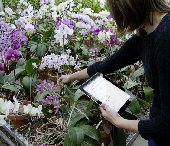
In order to map plants, using a tablet PC with ArcMap software, we record the location of the plant by tapping on the orthophoto where the plant is located (called "head's up digitizing") and entering the accession number into the associated table. When we return to the office, we synchronize the data on the tablet PC with our network. We maintain a live connection between our GIS and our Plant Records database in Microsoft Access, so the newly mapped plants are automatically linked to the corresponding records in Microsoft Access.