The Madidi project has used many different methods to collect samples and data. All information is deposited in Tropicos®. The varied activities in the field, herbarium, and laboratory call for standards and manuals to reduce bias and secure order as well as providing a way to teach new staff and students in the projects operations. We here present all our manuals and procedures, a compilation of several years of experience, that can be downloaded here (Spanish).

Extensive network of forest plots sampled as part of the Madidi Project.

A major effort of The Madidi Project has been to survey a network of forest plots. The network consists of 50 permanent 1-ha plots, and 442 temporary 0.1ha plots. The network covers an extensive elevational gradient ranging from 250 to 4,350 m. In temporary plots, all woody plants with a diameter at breast height (DBH) equal or greater than 2.5 cm have been measured and identified; in permanent plots, the DHB cut-off is 10 cm. Additionally, trees in permanent plots have been mapped. These data provide a detailed knowledge of the distribution of tree species at various spatial scales in the Madidi region. This dataset is unparalleled in the tropics in terms of its elevational range, spatial extent, replication, and exceptionally high taxonomic resolution.


Forest Dynamics

Daniel Alanes re-measuring a tree in one of the Madidi Project's forest plots. 

In 2011, we started to re-sample all permanent plots 7-8 years after their establishment. Ten plots have already been re-surveyed, with another 8 expected for 2014. Preliminary data show significant rates of mortality and recruitment (~12%), providing enough statistical power to detect dynamics in our data.


Functional Traits

Leaf variation in Pourouma guianensis from the Project's Tintaya plot.

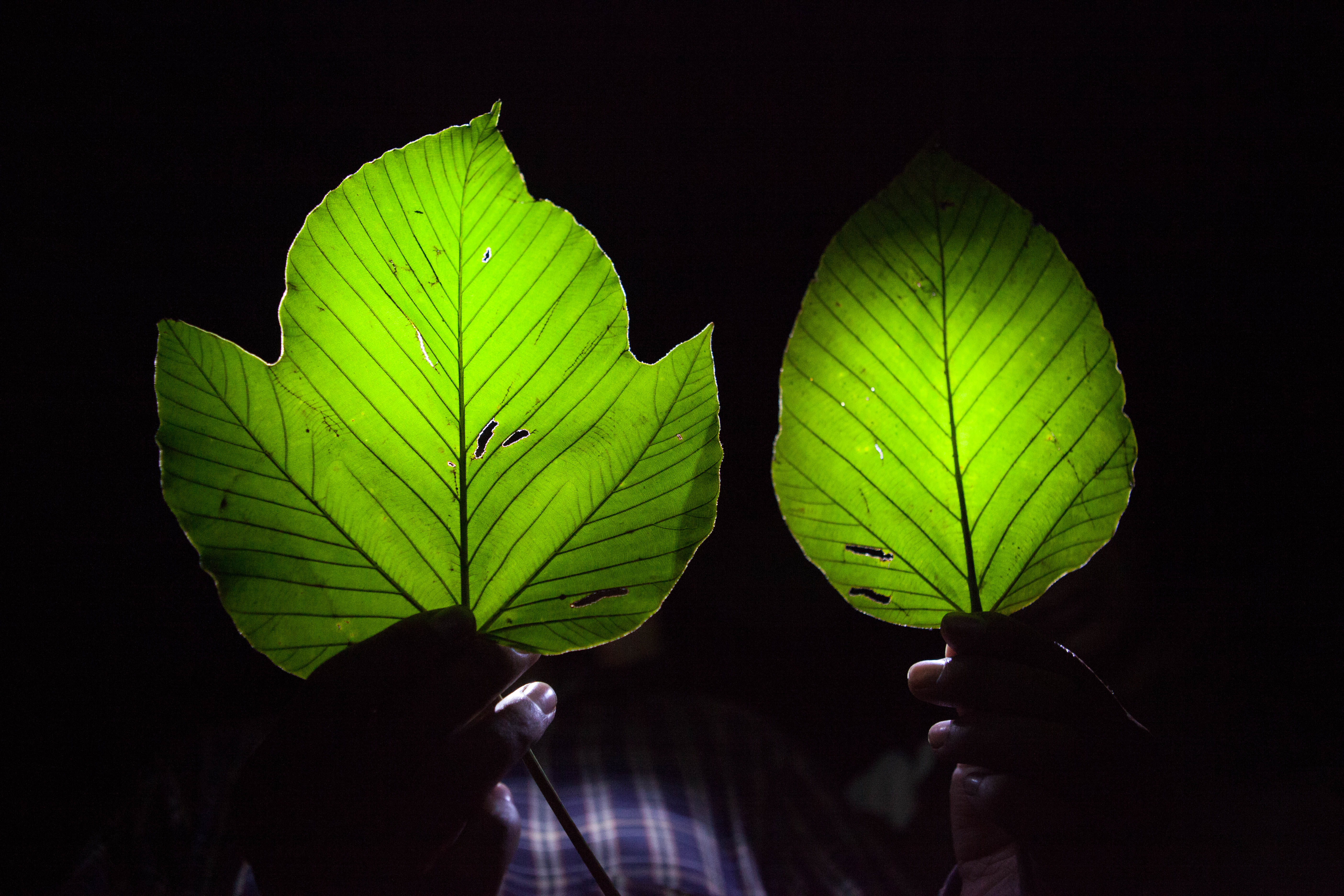
During plot re-surveys, the Madidi Project is measuring plant traits known to be important for distribution and co-existence of species along environmental gradients at both large spatial scales (i.e., across elevations) and within local communities. For 5 individuals of each species in each plot, we are collecting replicated measures of leaf area, leaf size, leaf nitrogen content, leaf number, wood density, vessel diameter, vessel density, and growth rate. At the population level, we are measuring mortality and recruitment rates. Finally, we are using field and herbarium data to obtain information on seed size and dispersal mode. We have already collected trait information in the field for 1,640 individuals and 385 species.


Soil Properties & Topography

Principal component analysis and elevational variation in soil resources among temporary plots.

The Madidi Project has collected information on the variation of various soil properties among plots along the elevational gradient. These soil variables reflect various dimensions of variation in texture and resources. Soils show considerable variation across and within elevations in Madidi. We have plans to expand these data with complementary information on soil variation at smaller spatial scales. Within each permanent plot, we will create high-resolution (~10m) maps of soil-resources using CTFS-SIGEO soil protocols. We plan to take 20 soil samples and measure AL, Fe, K, Mg, Mn, Na, total N (ammonium + nitrate), P, base saturation, electrical conductivity, and pH. We have already collected information about topographic variation within each permanent plot. 


Botanical Collections


Tatiana (left) and Leslie (right) working with dried herbarium specimens.

Additionally to the surveys of forest plots, the Madidi Project has made an extensive number of additional collections to document the woody and non-woody flora of the Madidi region.